This is a scenic, access-aware Caledon itinerary—not a promise that three parks can be squeezed into an afternoon. The good version pairs the red shale of Cheltenham Badlands, Belfountain’s designed heritage landscape, and the trails around Forks of the Credit with enough time to use each site’s legal access and parking system.
The landscape changes quickly on the west side of the GTA: rolling Escarpment roads, forests, river valleys and small hamlets replace the suburban corridor. It is especially appealing in autumn, but the same popularity means that a Cheltenham ParkPass or reservation, a Belfountain vehicle permit, an Ontario Parks day-use permit or a parking lot can decide whether the route works. Treat the official checks below as part of the trip, not an afterthought.
Caledon route in one minute
Make the access checks work
Check Cheltenham Badlands first, then Belfountain, then Forks of the Credit. They are different places with different operators and access rules; one confirmation does not unlock the others.
Use a two-stop version when needed
A relaxed Cheltenham plus Belfountain day is often better than rushing all three. Add Forks of the Credit only if the permit, daylight, energy and trail conditions still line up.
Best season
Fall is the visual peak for this route, but it is also the time to expect limited parking, high demand and slower roads. Start early, use designated lots and keep a backup plan.
Plan the route before the drive
The route joins three distinct types of outdoor experience. Cheltenham Badlands is a short viewing stop with a sensitive geological landscape. Belfountain Conservation Area is a compact heritage park with a bridge, waterfall, fountain, replica cave and vehicle-permit access rules. Forks of the Credit Provincial Park is the trail-oriented finish, with Ontario Parks day-use requirements and a much more open woodland setting.
Do not use this page as a substitute for the current operator pages. Opening dates, access requirements, closures, fees, capacity and trail conditions change. Verify all three official pages on the morning of the visit, and never turn an unavailable lot into a roadside parking plan.
- Start with Cheltenham’s current ParkPass or reservation system: it has the narrowest visitor format and is usually the most time-sensitive stop.
- Secure Belfountain access: CVC currently requires a vehicle permit and does not permit walk-ins. Check the current hours, capacity notes and arrival rules before leaving.
- Only then add Forks of the Credit: buy the appropriate Ontario Parks day-use vehicle permit before driving, have the required confirmation or barcode ready, and leave time for the trail you actually want to walk.
Stop 1: Cheltenham Badlands — geology from the right side of the barrier
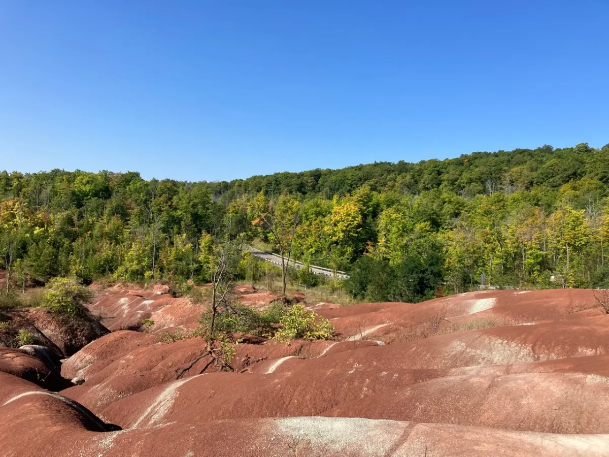
The Badlands are a small but extraordinary introduction to Caledon: iron-rich Queenston shale, shaped by erosion into red ridges and gullies. The Caledon Hills Bruce Trail Club describes it as a provincially significant Earth Science Area of Natural and Scientific Interest. That geological importance is exactly why the visit is managed.
Stay on the designated viewing platform and Bruce Trail. The red ridges are not an open playground or a background for climbing photographs; access beyond the designated visitor areas is restricted to protect the fragile terrain. The Ontario Heritage Trust, the site’s owner and operator, currently describes ParkPass bookings as usually 90 minutes, with limited three-hour options. Treat the Badlands as a short viewing stop and check the live booking page for the current season’s hours, price and availability.
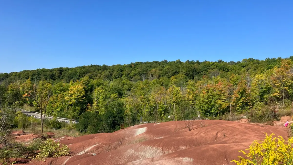
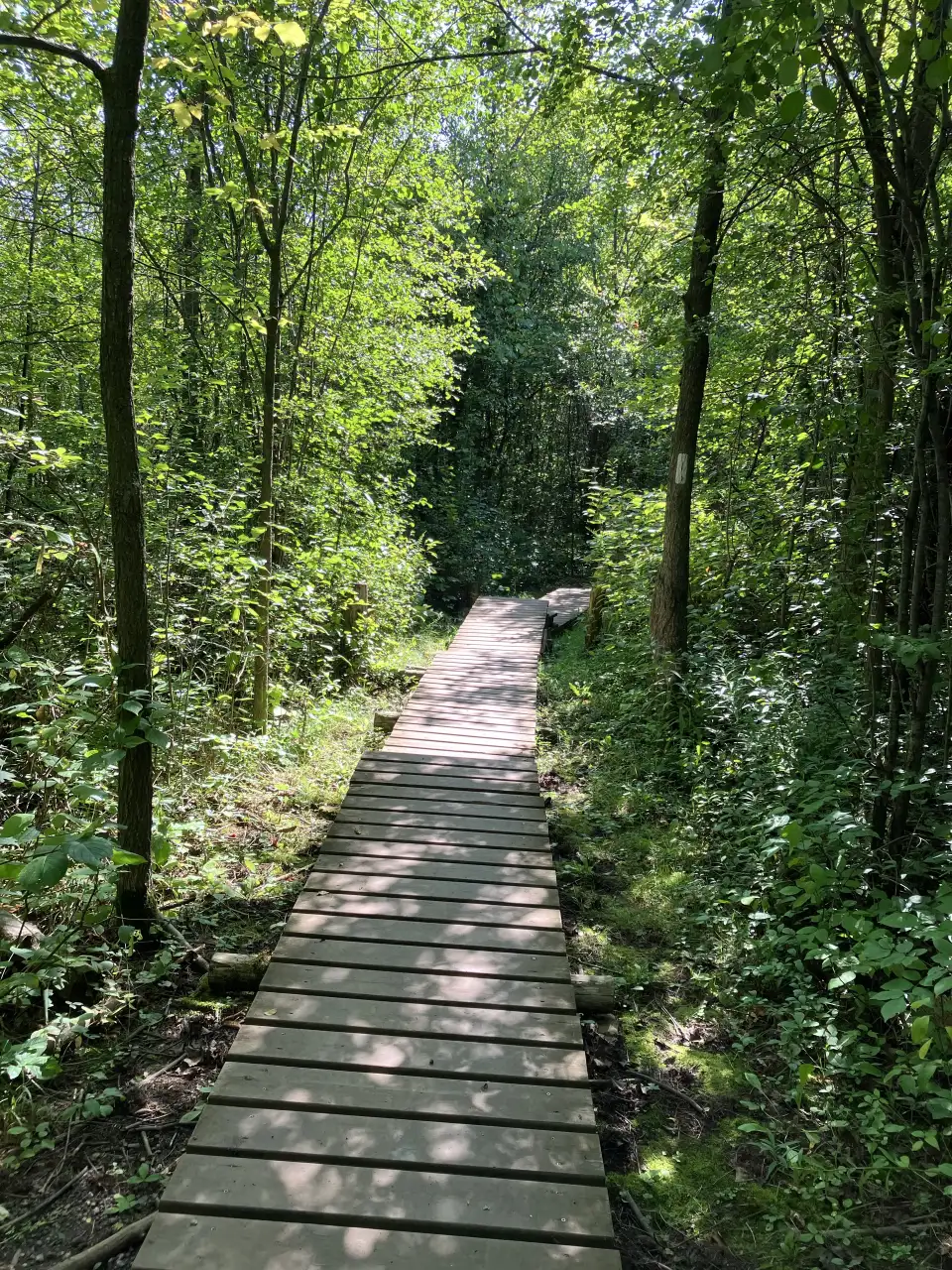
For a more detailed plan, including the booking caveat and why the landscape must be viewed responsibly, use our Cheltenham Badlands reservation guide. Keep this stop short and deliberate; that makes it easier to leave space for Belfountain rather than starting the day behind schedule.
Between stops: a scenic drive is not a roadside attraction
The connection toward Belfountain and Forks of the Credit runs through rural Escarpment country. Rolling grades, trees and the Credit River valley make the road part of the experience, particularly during autumn colour. They also demand full attention: expect cyclists, changing sightlines, local traffic and busy weekends.
Use a mapping app for the current turn-by-turn route and obey signs and seasonal road conditions. Do not stop on shoulders, grass or private entrances for a photograph. If a stop has no legal space, keep driving; the route has enough proper viewpoints without turning a narrow road into a hazard.
Stop 2: Belfountain — a compact heritage walk
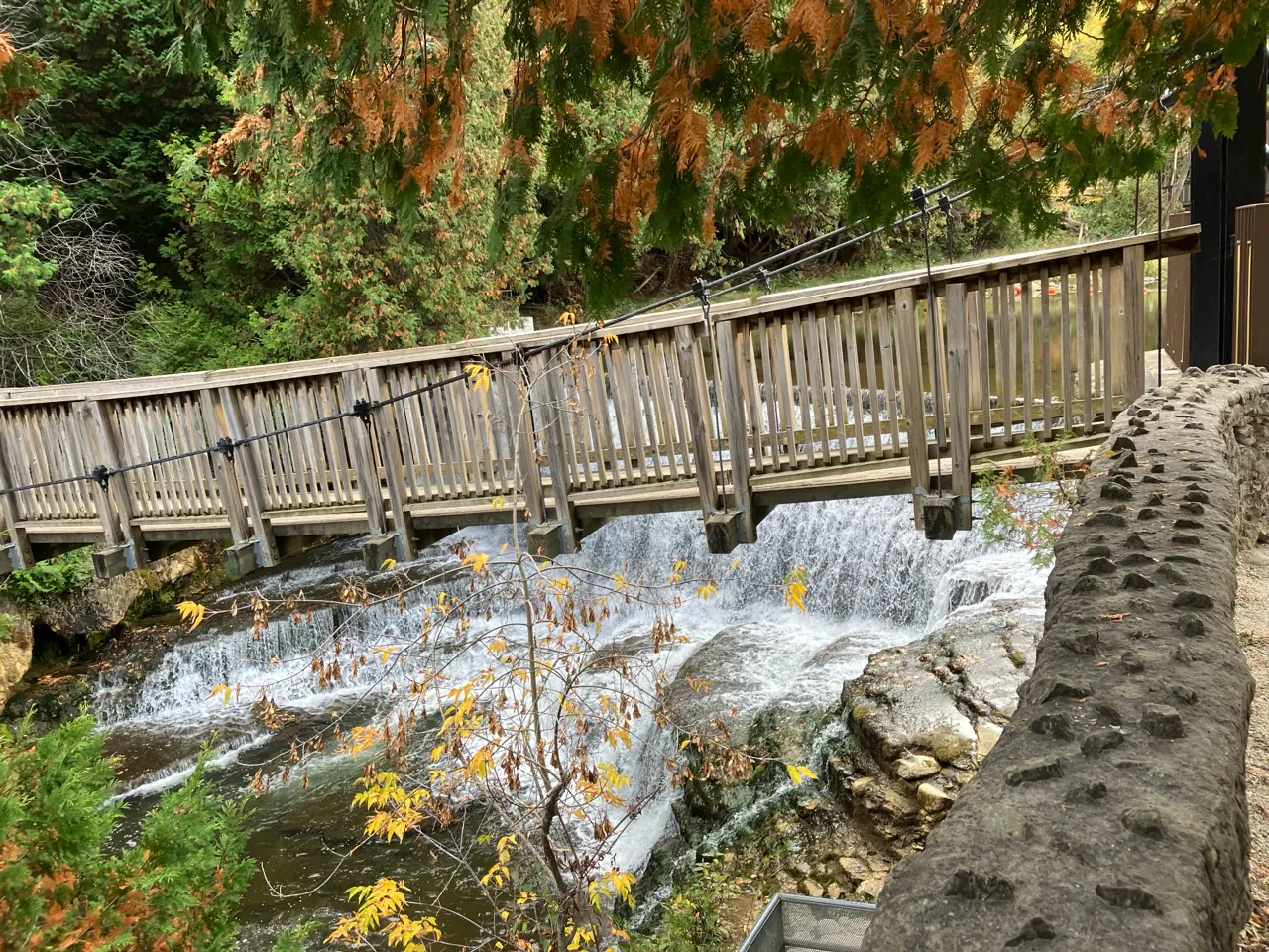
Belfountain is the stop with the most concentrated visual payoff: the suspension bridge above an engineered waterfall, a pond and river channel, stonework, Yellowstone Cave, the historic fountain and woodland paths. It is easy to imagine it as a place to wander all day, but it is actually a compact CVC park whose access depends on the current required vehicle permit, arrival rules and capacity conditions.
Credit Valley Conservation currently requires a vehicle permit and does not permit walk-ins at Belfountain. The limited parking and road access make it important to secure the permit and check the official page before driving; visitors cannot simply park nearby and walk in. CVC currently lists entry closing 60 minutes before park closing, while published hours, capacity notes and access instructions can change. Bring any required confirmation, arrive as instructed and let the route map determine which surfaces work for your group.
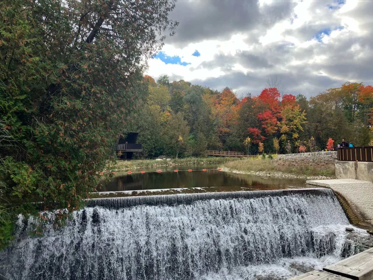
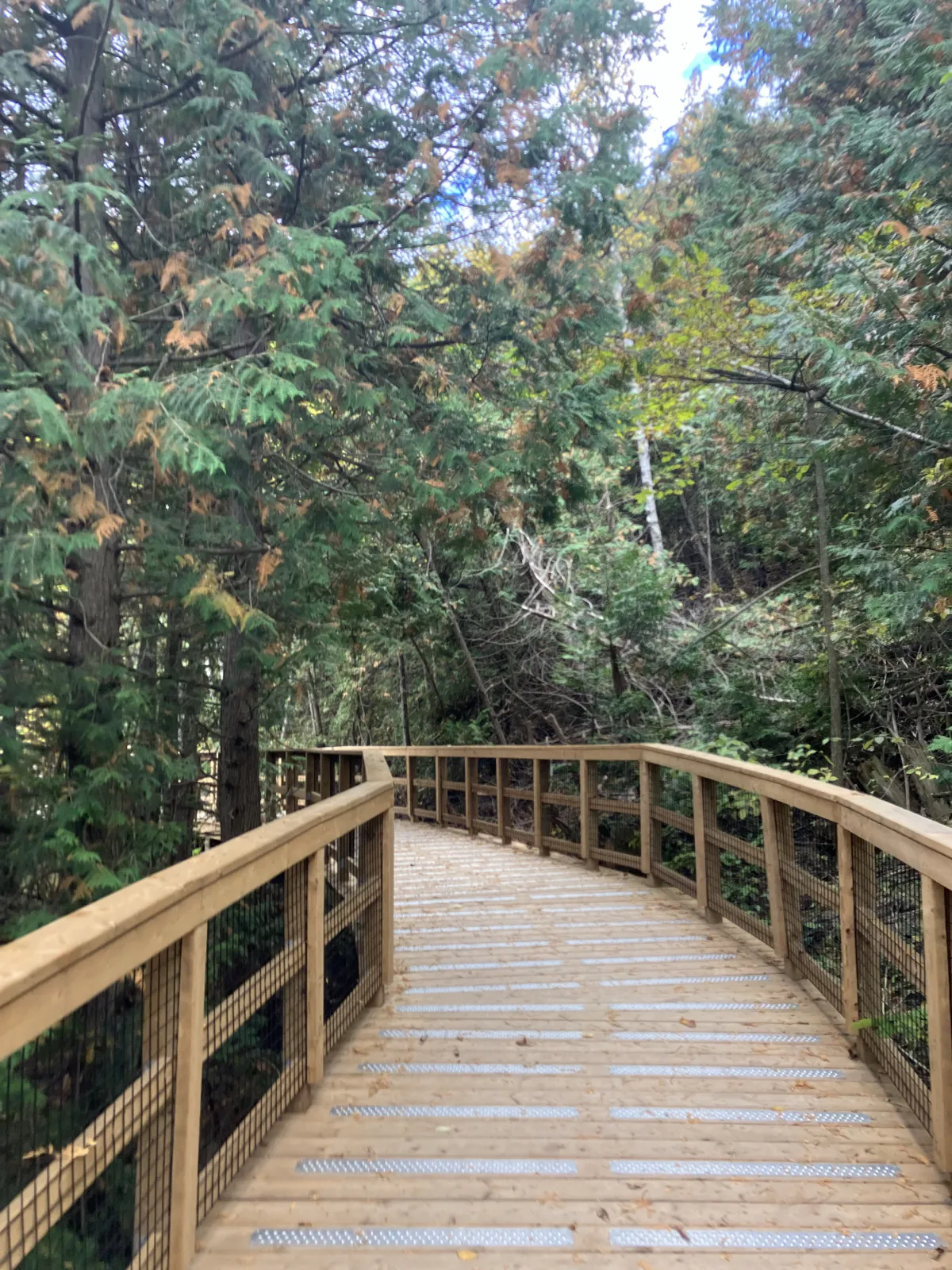
The waterfall and bridge are heritage features within the former Mack Park landscape. Yellowstone Cave is also a built replica—not a natural cave system—and the trail network has a mix of boardwalk, stairs, grades and woodland surfaces. This stop is especially good for a family that wants a short, memorable walk, but it is not the place to improvise a picnic: CVC does not permit picnicking, barbecuing or day camping here.
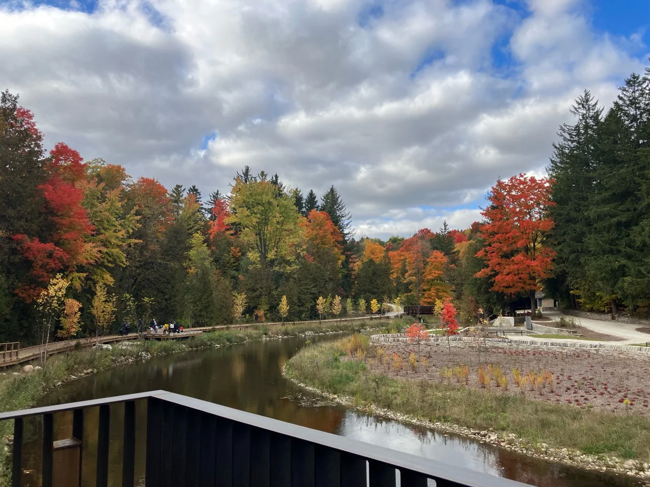
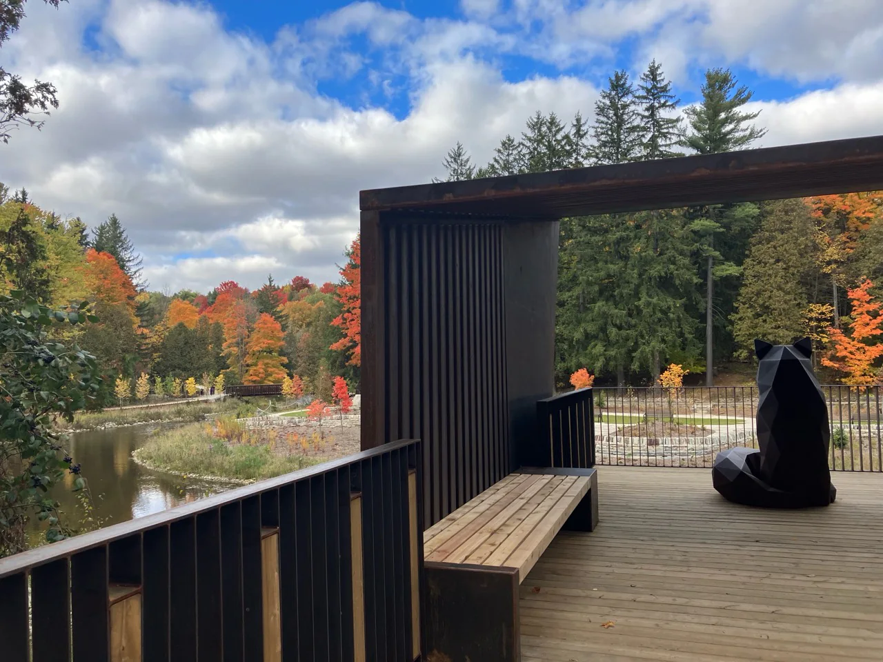
Stop 3: Forks of the Credit — leave time for a real trail
Forks of the Credit Provincial Park turns the day from a set of viewpoints into a longer forest-and-valley outing. It connects with the Bruce Trail and has a different rhythm from Belfountain: decide on a trail length, bring water and footwear, and save enough daylight for the return rather than treating the park as a five-minute overflow stop.
Ontario Parks requires a day-use vehicle permit. The park’s lots are limited and roadside parking is not a workaround, so use the official day-use system and follow the park map. Facilities and trail access can vary with season and weather; the official park page currently lists basic vault privies rather than a visitor centre, which is another reason to arrive prepared.
A sensible three-stop rule
Finish at Forks of the Credit only when the first two stops were smooth and you still have a valid day-use permit, time for the hike, water, appropriate shoes and daylight. Otherwise, call the two-stop day a success and return for the provincial park on a dedicated visit.
Fall-colour plan: beat crowds without rushing the day
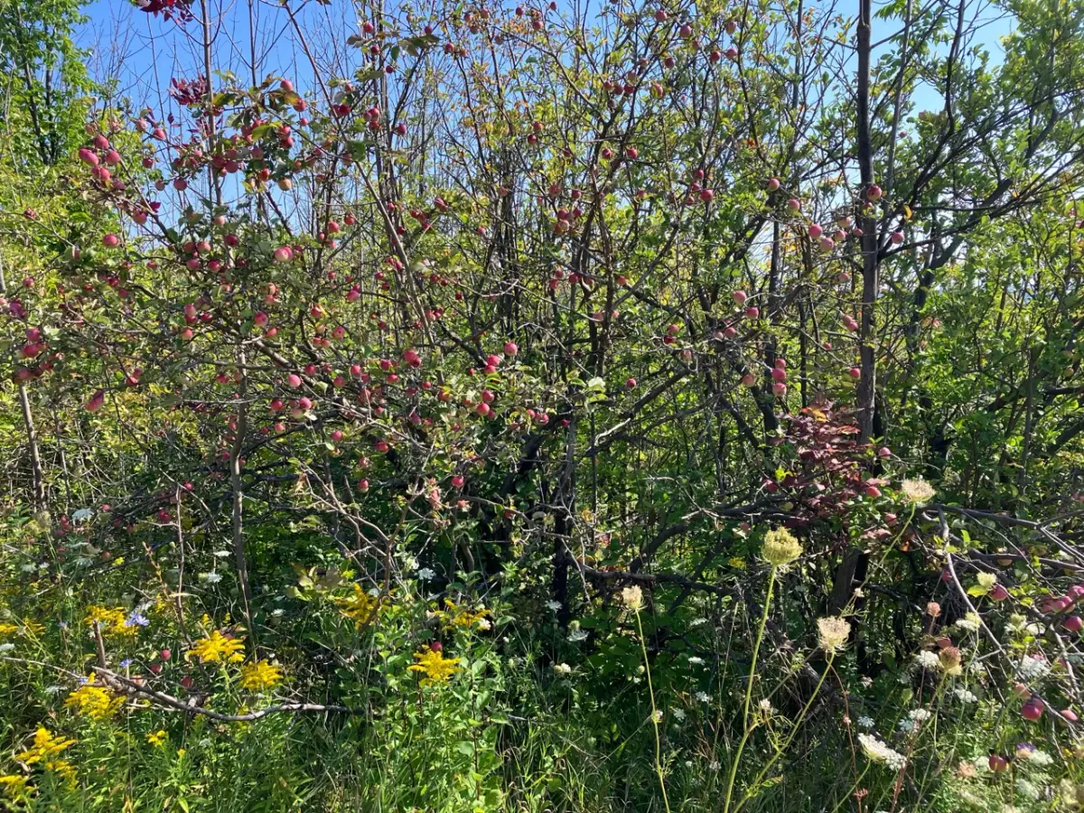
Fall is the strongest season for this route because the red shale, pond reflections, river valley and forest canopy all read differently at once. It is not a quiet secret then. Book the time-sensitive stops as soon as their systems open, aim for the earliest feasible arrival and keep a weekday or shoulder-season alternative if you can.
Peak colour is weather-dependent, not a fixed weekend. Check current park advisories, operator hours and route conditions shortly before departing. Wet leaves, mud, stairs and exposed roots can change a pretty fall walk into a slippery one; choose footwear and pace accordingly.
Who this day trip suits
This route suits visitors with a car who enjoy a mix of geology, heritage design and a potentially longer hike. It works for families when the day is scaled to two stops, for photographers who respect no-entry areas and crowded viewpoints, and for visitors who want an Escarpment change of scenery without pretending it is untouched wilderness.
It is less suitable for a spontaneous late-day drive, a group expecting unrestricted access at every stop, or anyone hoping to park wherever a view appears. The best Caledon days feel unhurried precisely because the planning is done first.
Frequently asked questions
Can I visit Cheltenham Badlands, Belfountain and Forks of the Credit in one day?
Yes, but only if Cheltenham’s current access system, Belfountain’s required vehicle permit and the Ontario Parks day-use permit line up with daylight and your group’s pace. A two-stop Cheltenham-and-Belfountain day is often the more relaxed choice.
Do I need to reserve every stop on this Caledon route?
Check the current official page for each stop. Cheltenham Badlands uses managed visitor access in season, Belfountain currently requires a vehicle permit and does not allow walk-ins, and Forks of the Credit requires an Ontario Parks day-use vehicle permit.
Can I park on the road near the Badlands, Belfountain or Forks of the Credit?
No. Use only official or clearly legal designated parking. Limited capacity is a reason to reschedule or use a backup plan, not to stop on a shoulder, grass verge or private entrance.
Can visitors walk on the red hills at Cheltenham Badlands?
No. The Badlands’ sensitive topography is not open for walking. Stay on the designated viewing platform and trail system.
What is the best season for this route?
Fall gives the route its strongest colour, but it also brings the greatest demand. Spring through early autumn can work well too; confirm each operator’s current dates, capacity and trail conditions before travelling.
Planning details checked August 11, 2026. Reservations, day-use permits, operating dates, access, fees, facilities and trail conditions can change. Recheck the official pages below before leaving.