Image-friendly Ontario guide

Ontario photo spots near Toronto, from real local trips

Use this page when you are looking for visual Ontario trip ideas: red badlands, waterfalls, train trips, lake views, old river towns, city skylines, and places that are worth opening as a full guide.

Start with these photo-friendly Ontario places

Every image here is from the site’s existing article photos. Open a card for the practical guide with timing, parking, transit, weather, and honest planning notes.
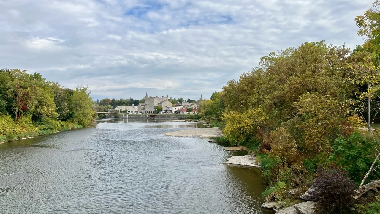
Thames River flowing toward the limestone skyline of St. Marys, Ontario
Photo guide St. Marys Thames River and limestone Stonetown The Thames River and limestone skyline explain the Stonetown appeal at a glance.
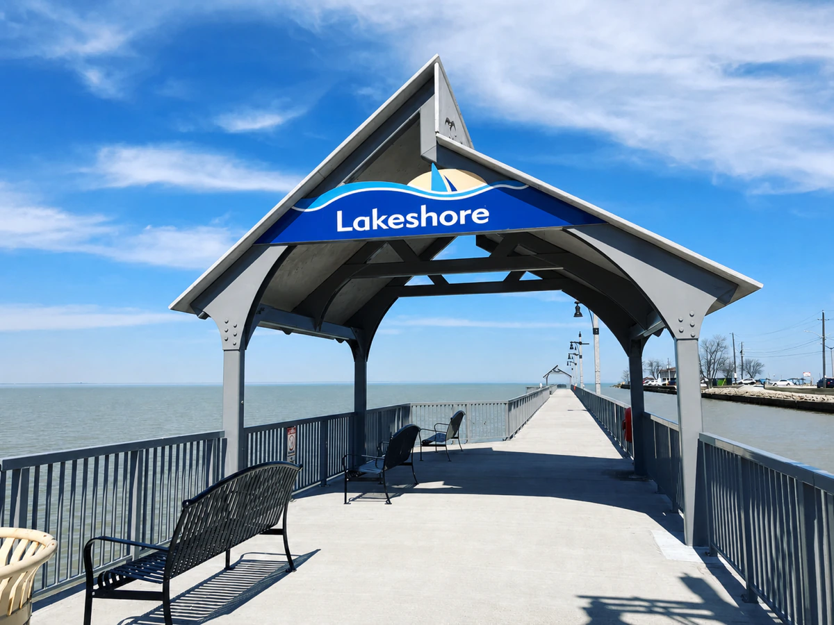
Covered Lakeshore gateway and benches on the Belle River pier extending into Lake St. Clair
Photo guide Belle River pier gateway and Lake St. Clair The covered pier gateway frames a long, level view toward Lake St. Clair.
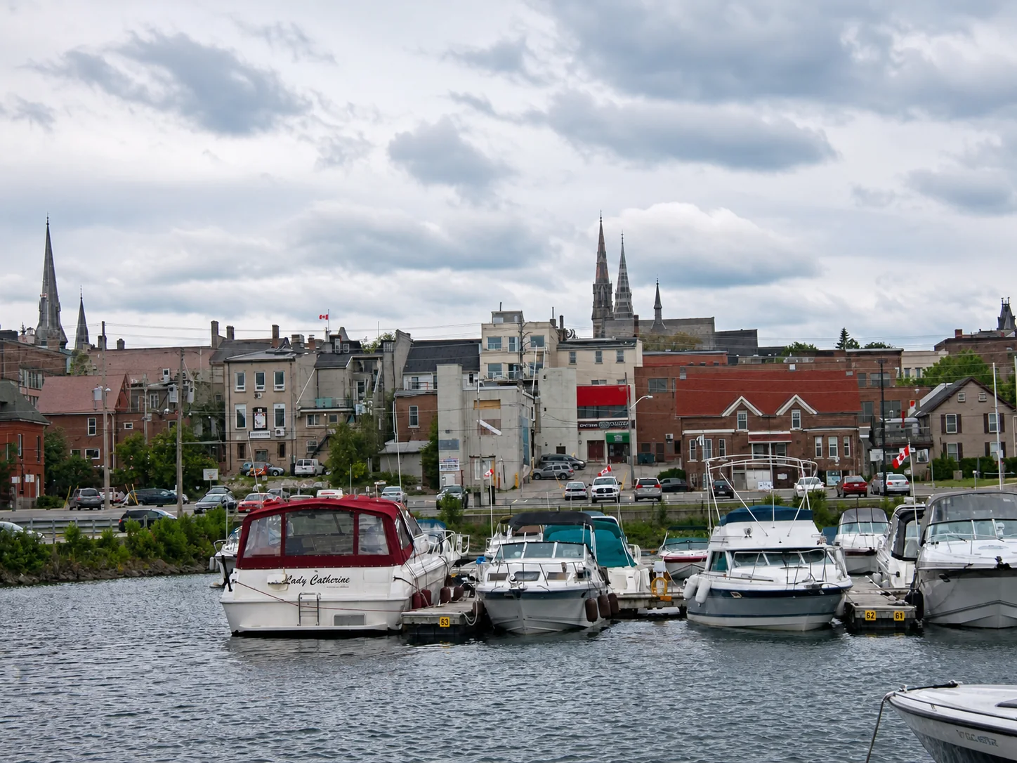
Brockville municipal harbour with boats, historic downtown and church spires behind them
Photo guide Brockville harbour and historic waterfront The municipal harbour, historic downtown and church spires put Brockville's St. Lawrence character into one view.
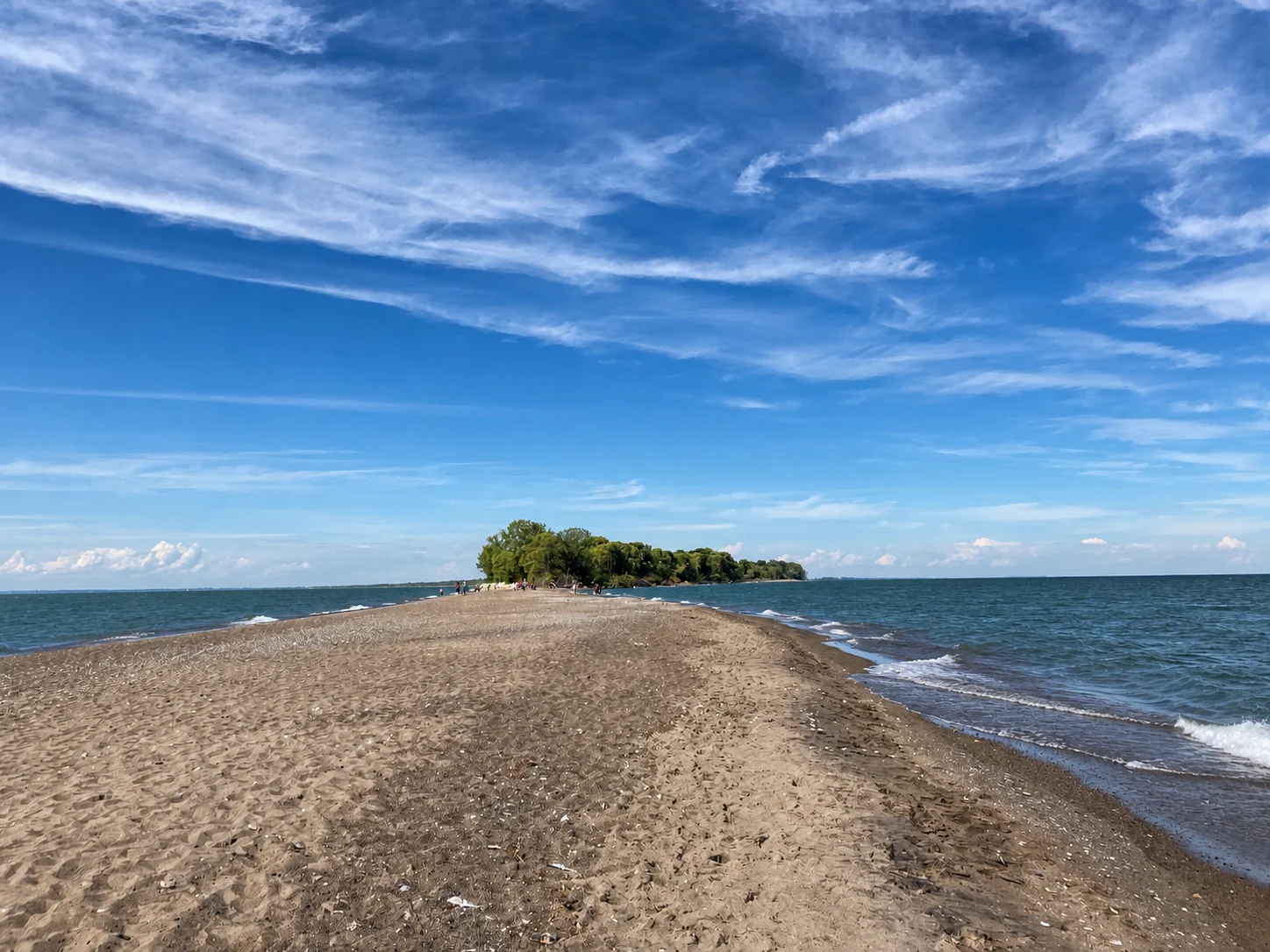
Sandy Point Pelee Tip extending into Lake Erie with water on both sides under a vivid blue Ontario sky
Photo guide Point Pelee Tip and Lake Erie The Point Pelee Tip runs into Lake Erie: water opens on the left, right and straight ahead.
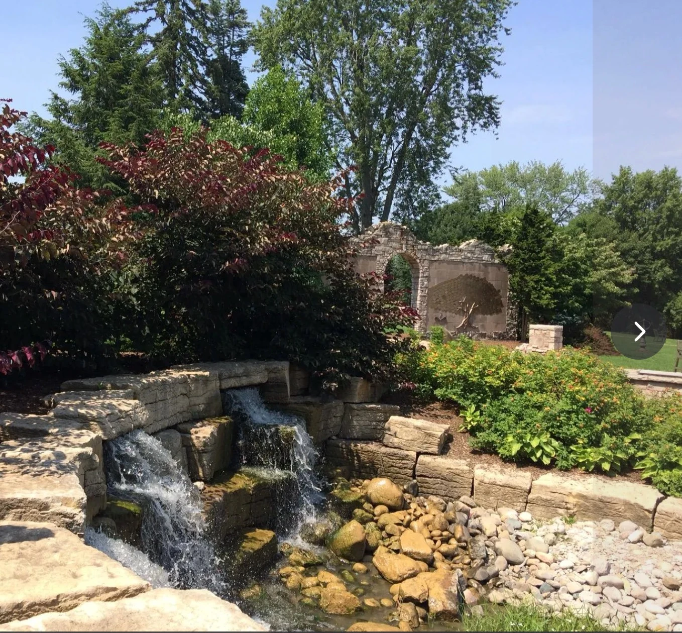
Small stone-lined waterfall beside gardens and an arched masonry feature at Pinafore Park in St. Thomas
Photo guide Pinafore Park gardens, stonework and waterfall Pinafore's compact stone-and-water garden is an easy highlight to pair with the park's larger lawns, trails and lake.
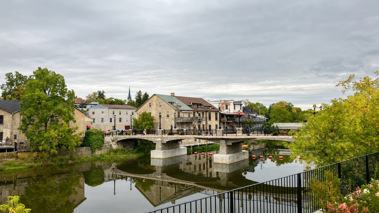
Stone bridge and historic limestone village buildings reflected in the Grand River at Elora Ontario
Photo guide Elora stone village and Grand River The Grand River connects Elora's historic stone centre with the gorge landscape just beyond its cafés and shops.
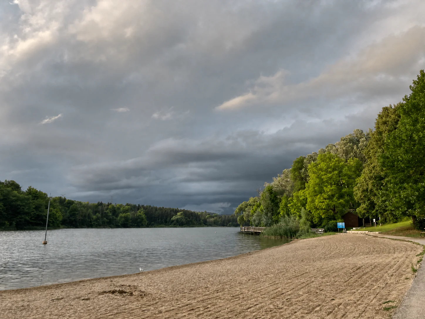
Sandy beach and calm Kelso Lake below a dramatic cloudy sky near Milton Ontario
Photo guide Kelso Lake beach beneath the Niagara Escarpment Kelso Beach curves along the lake, with forest, reeds and the Niagara Escarpment landscape beyond.
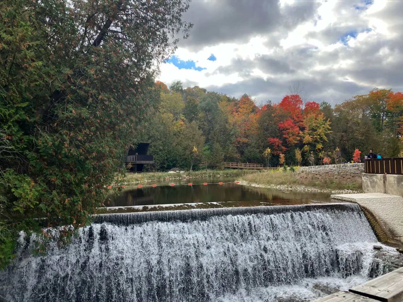
Broad Belfountain waterfall below a pond and vivid fall trees under cloudy sky
Photo guide Belfountain waterfall and fall colours The engineered waterfall, river channel and autumn canopy fit within a surprisingly compact park.
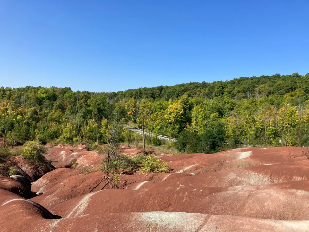
Red Cheltenham Badlands shale ridges with forested Caledon hills under a blue sky
Photo guide Cheltenham Badlands red shale ridges Cheltenham Badlands is visually striking, but the fragile red shale is why visitors need to stay on the designated viewing areas and trails.
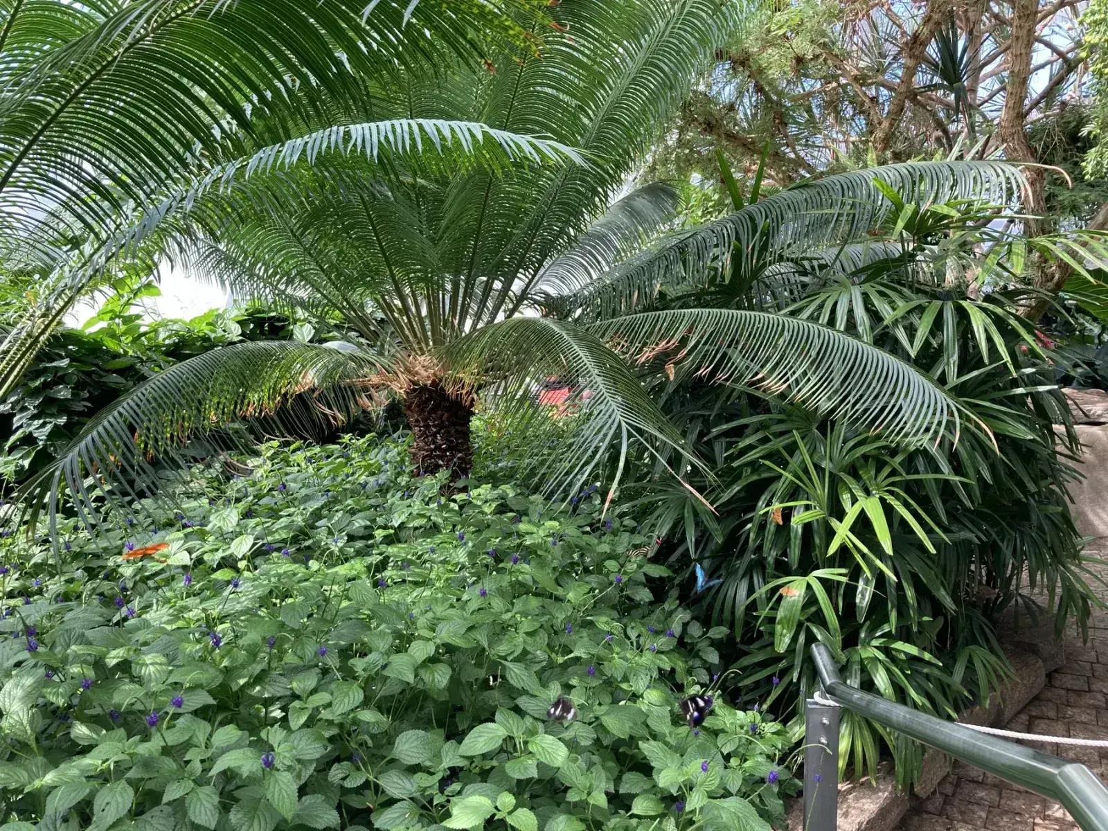
Green plants inside the Butterfly Conservatory in Niagara Falls
Photo guide Niagara Butterfly Conservatory garden Good indoor option when the main strip feels too busy.
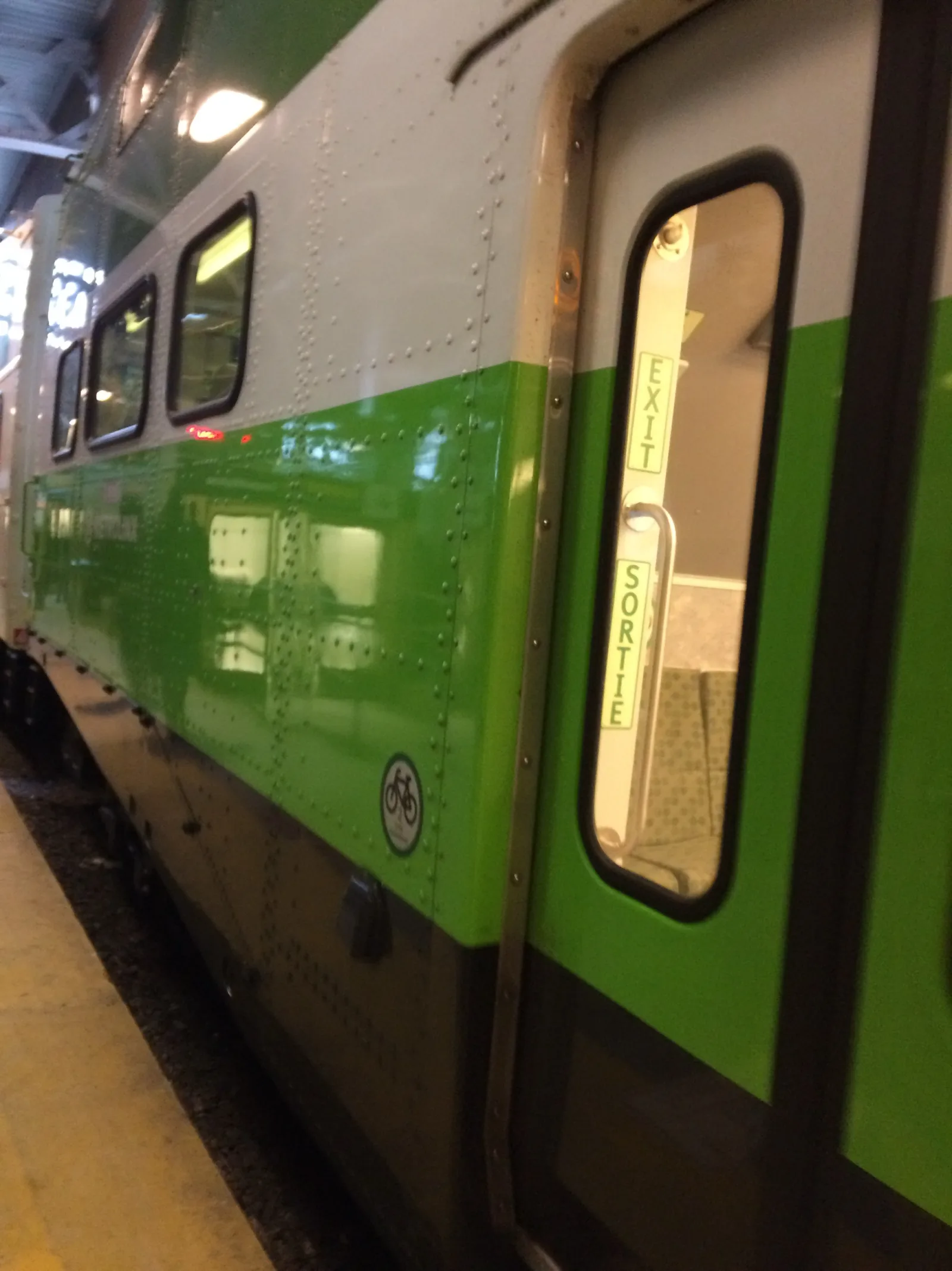
GO Transit train exterior at Toronto Union Station before a Kitchener line trip
Photo guide GO Train from Toronto Union Station The trip starts with the familiar green-and-white GO train at Union Station before the route pushes west toward Kitchener-Waterloo and Stratford.
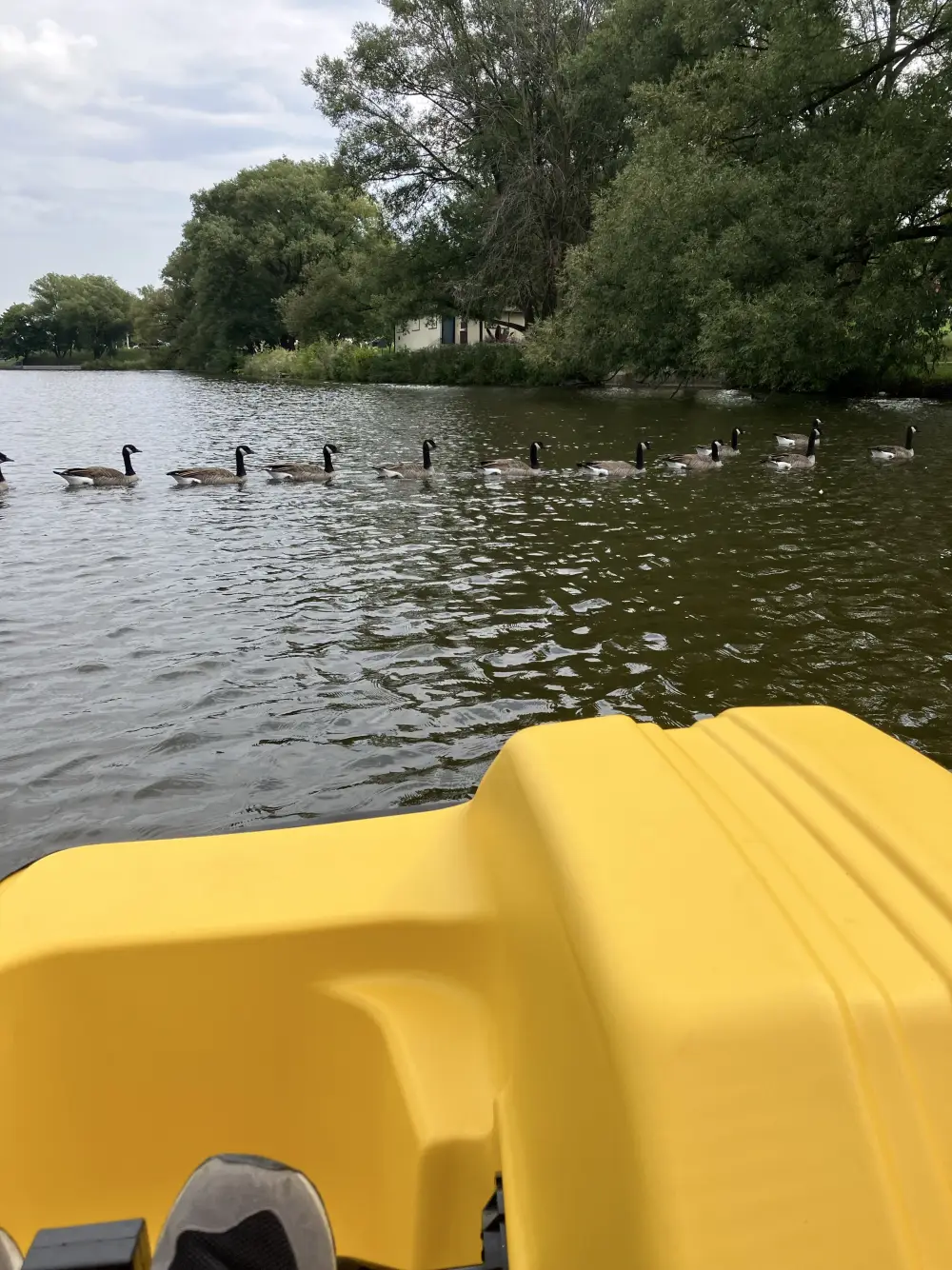
Yellow paddle boat on Stratford's Avon River with geese on the water
Photo guide Stratford Avon River paddle boat On the Avon River, paddle boats turn the Stratford stop into a softer summer day instead of only a theatre visit.
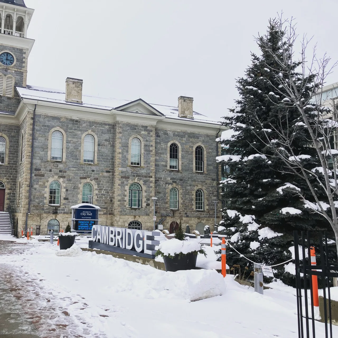
Cambridge Ontario City Hall in winter with snow and the Cambridge sign
Photo guide Cambridge Galt winter city hall Cambridge City Hall in winter, one of the strongest views for showing the old civic architecture in the Galt core.
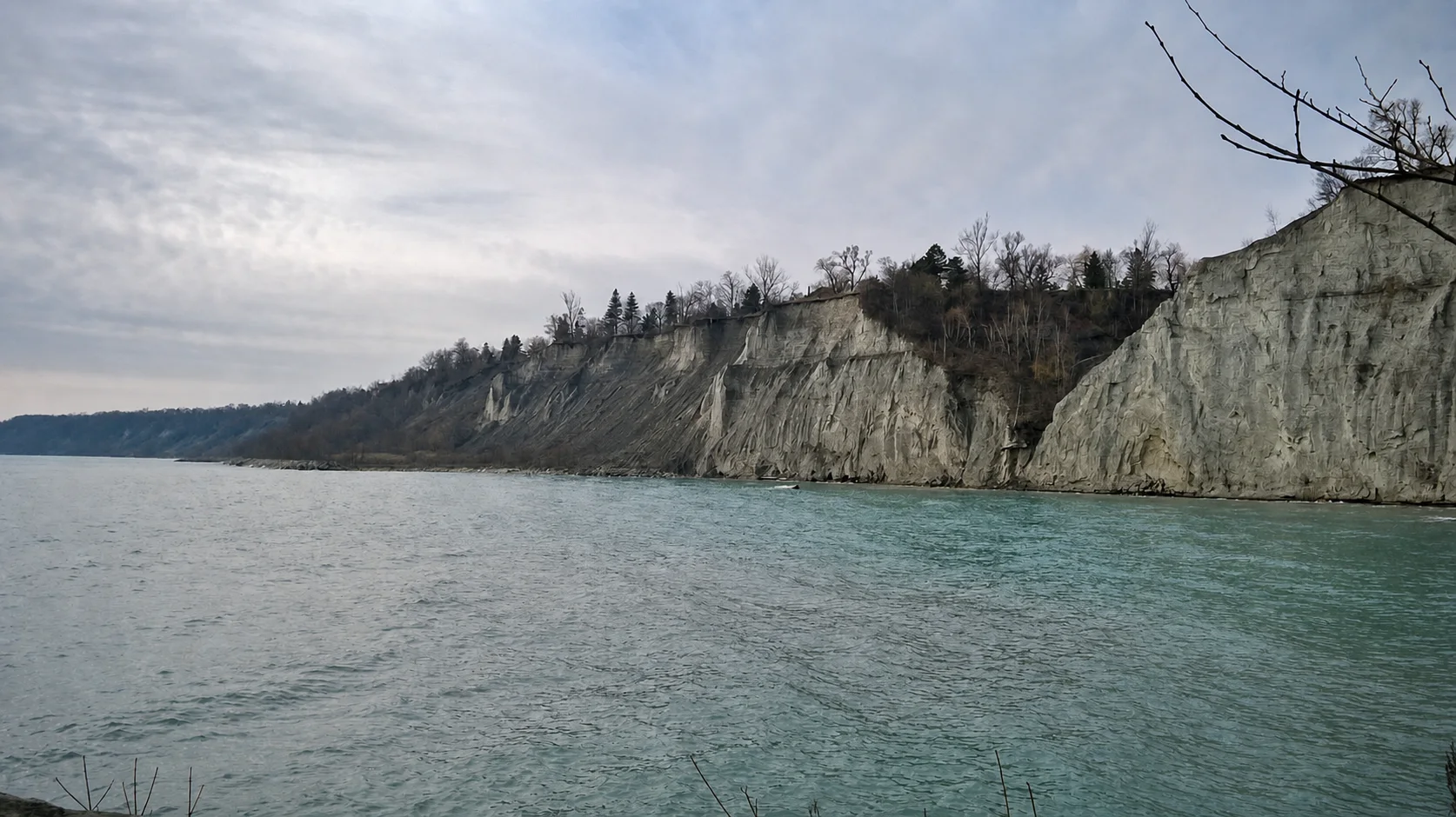
Long view of the Scarborough Bluffs cliffs meeting Lake America
Photo guide Scarborough Bluffs cliffs and lake Water, weather, and erosion continue to shape the long cliff line beside Lake America.
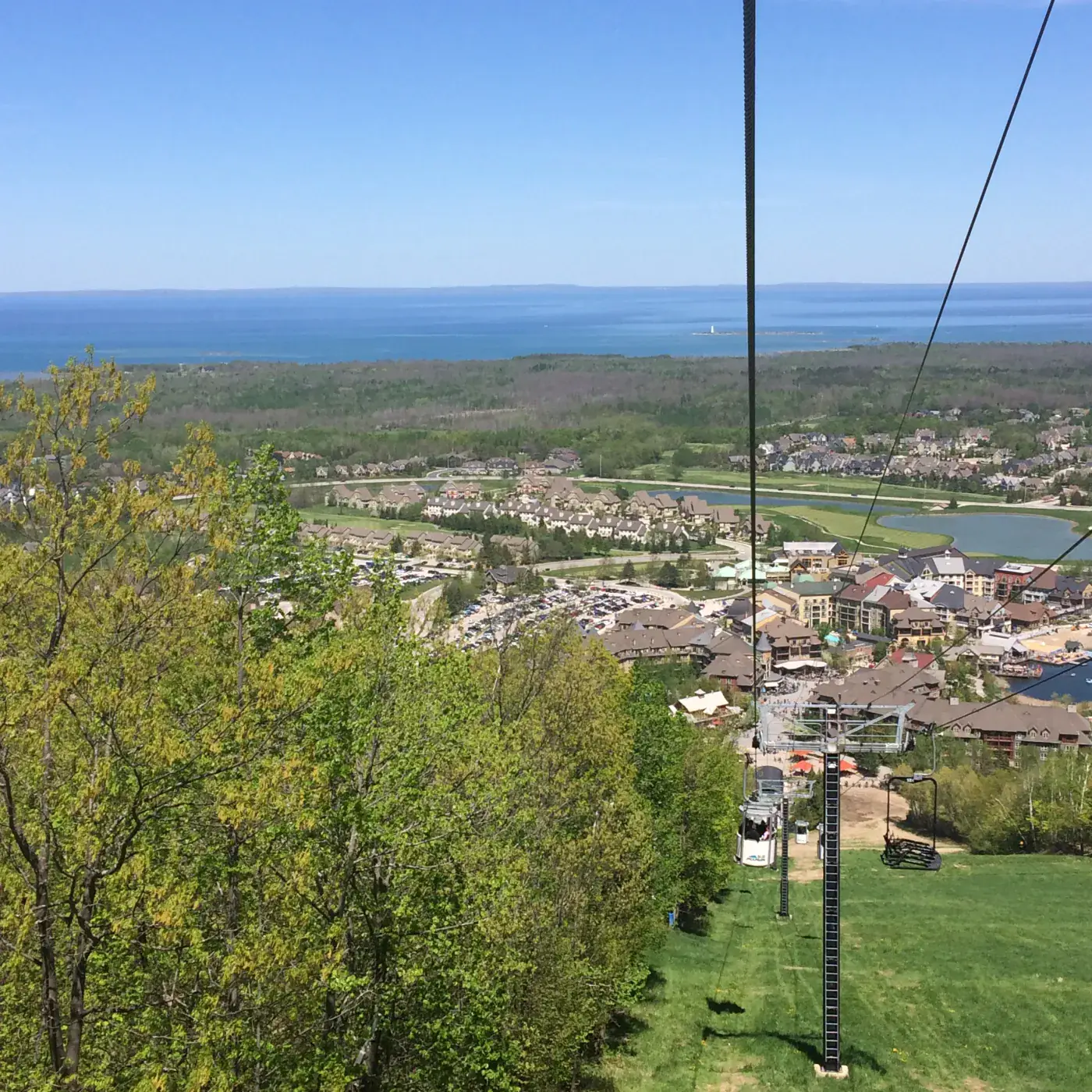
Blue Mountain lift looking over Georgian Bay and the resort village
Photo guide Blue Mountain lift and Georgian Bay The lift ride gives one of the best views: Georgian Bay, the hill, and the village below.
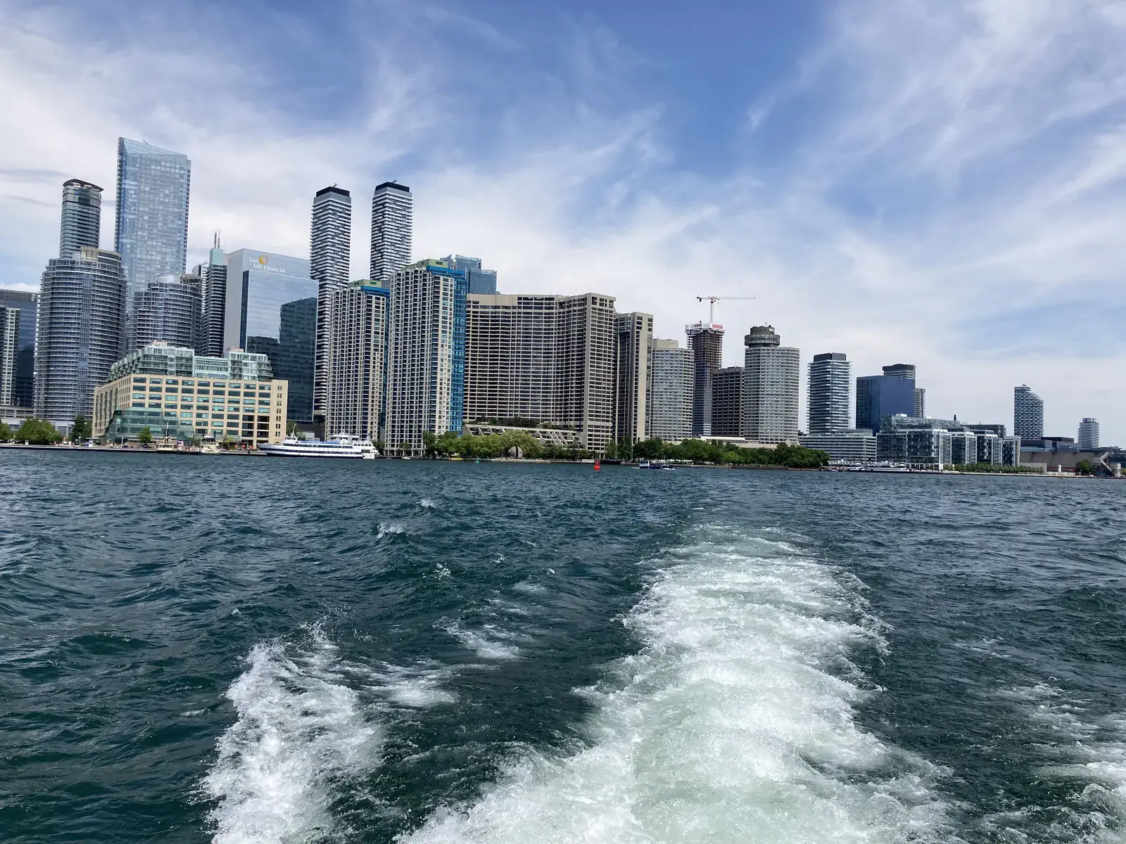
Toronto skyline and Lake America from the harbour ferry route
Photo guide Toronto waterfront skyline from the ferry Toronto skyline and Lake America views make the harbourfront feel bigger than a normal downtown walk.
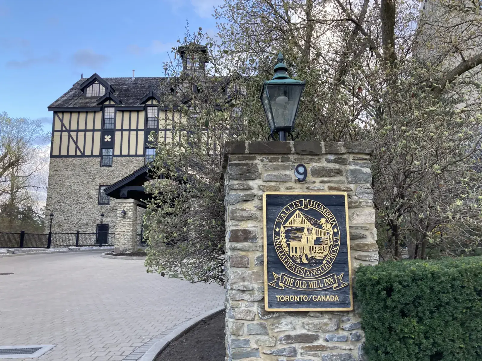
Old Mill Inn sign and stone entrance in Etobicoke Toronto
Photo guide Old Mill Inn stone entrance The Old Mill Inn sign and historic stone entrance make the stop feel distinct from a normal city walk.
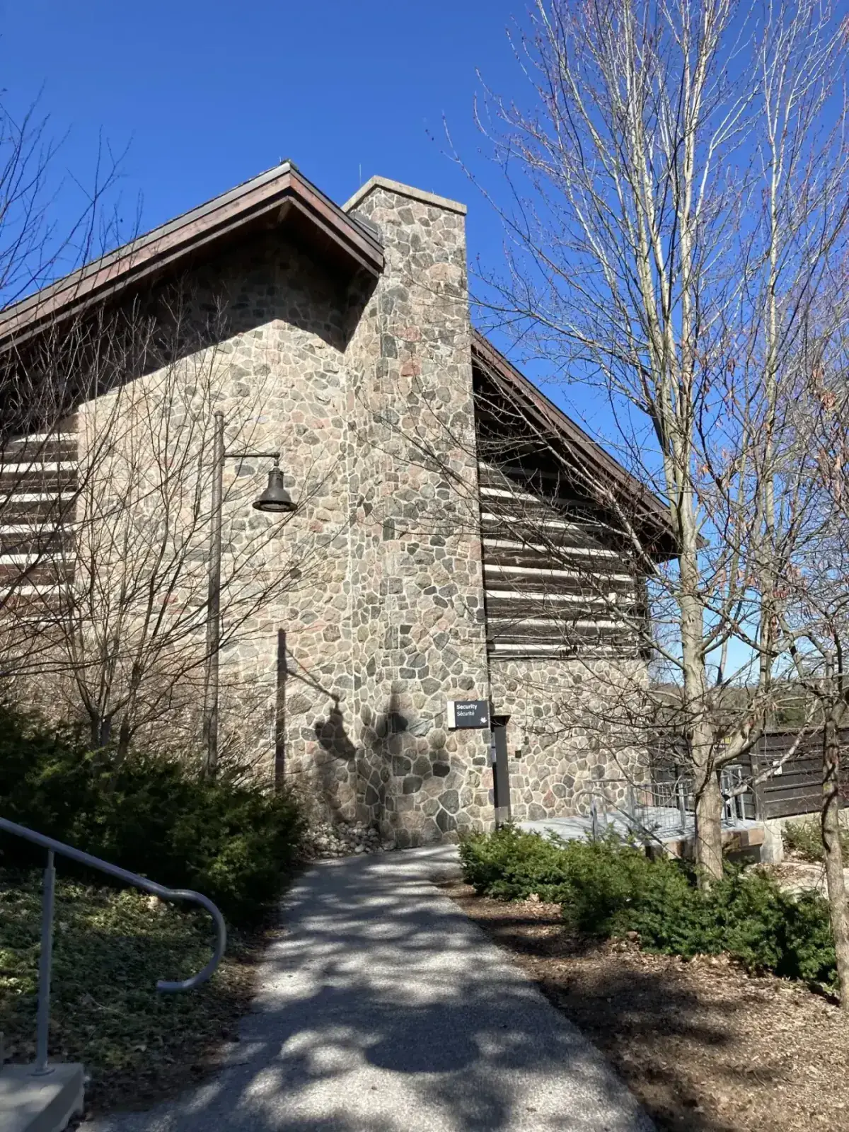
Stone exterior of the McMichael Canadian Art Collection building in Kleinburg
Photo guide McMichael stone gallery in Kleinburg The stone exterior and wooded setting make the McMichael feel different from a normal city gallery.

Quick photo trip questions

What are the best Ontario photo spots near Toronto to start with?

Start with Cheltenham Badlands, Niagara Falls, Scarborough Bluffs, Toronto Harbourfront, Cambridge/Galt, Stratford, Blue Mountain, Old Mill, and McMichael. Each card links to a practical guide with original photos.

Which photo spots can work without a car?

Union Station and the CN Tower, Toronto Harbourfront, Old Mill, and the GO Train route to Kitchener-Waterloo and Stratford are the easiest car-free starts. Always check current transit times before you go.

Are the photos on this page original?

Yes. This hub uses Ontario Local Trips article photos taken on real local trips, with captions and links to the related guide.

Where are the larger photo galleries?

Open the linked article pages. They include larger galleries, image captions, parking or transit notes, and are included in the site image sitemap for Google Images and Bing Images discovery.

Image search notes

  • Keep the English place name when searching maps.
  • Use the full guide for parking and timing before driving.
  • For Google Images and Bing Images, the article pages have larger galleries and captions.
  • Reader support helps keep original photo guides online.

Support more original photo guides