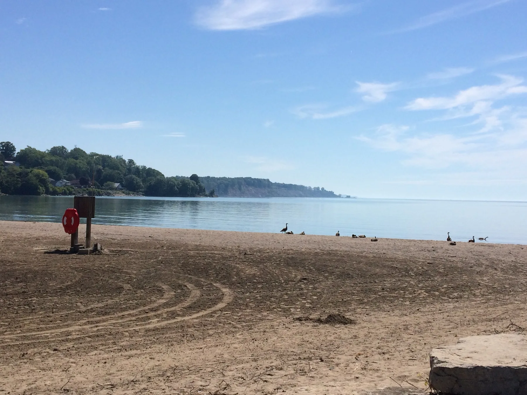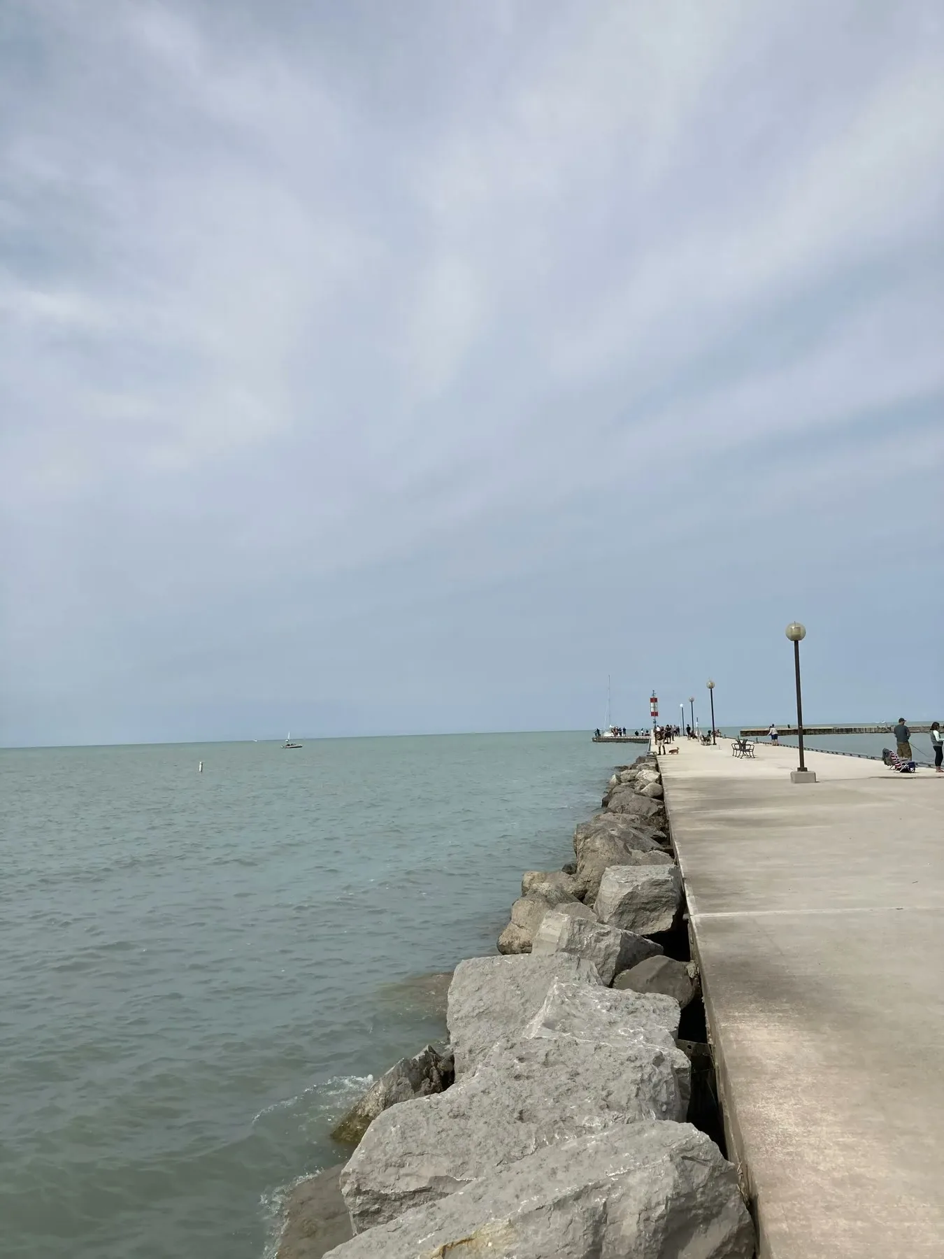
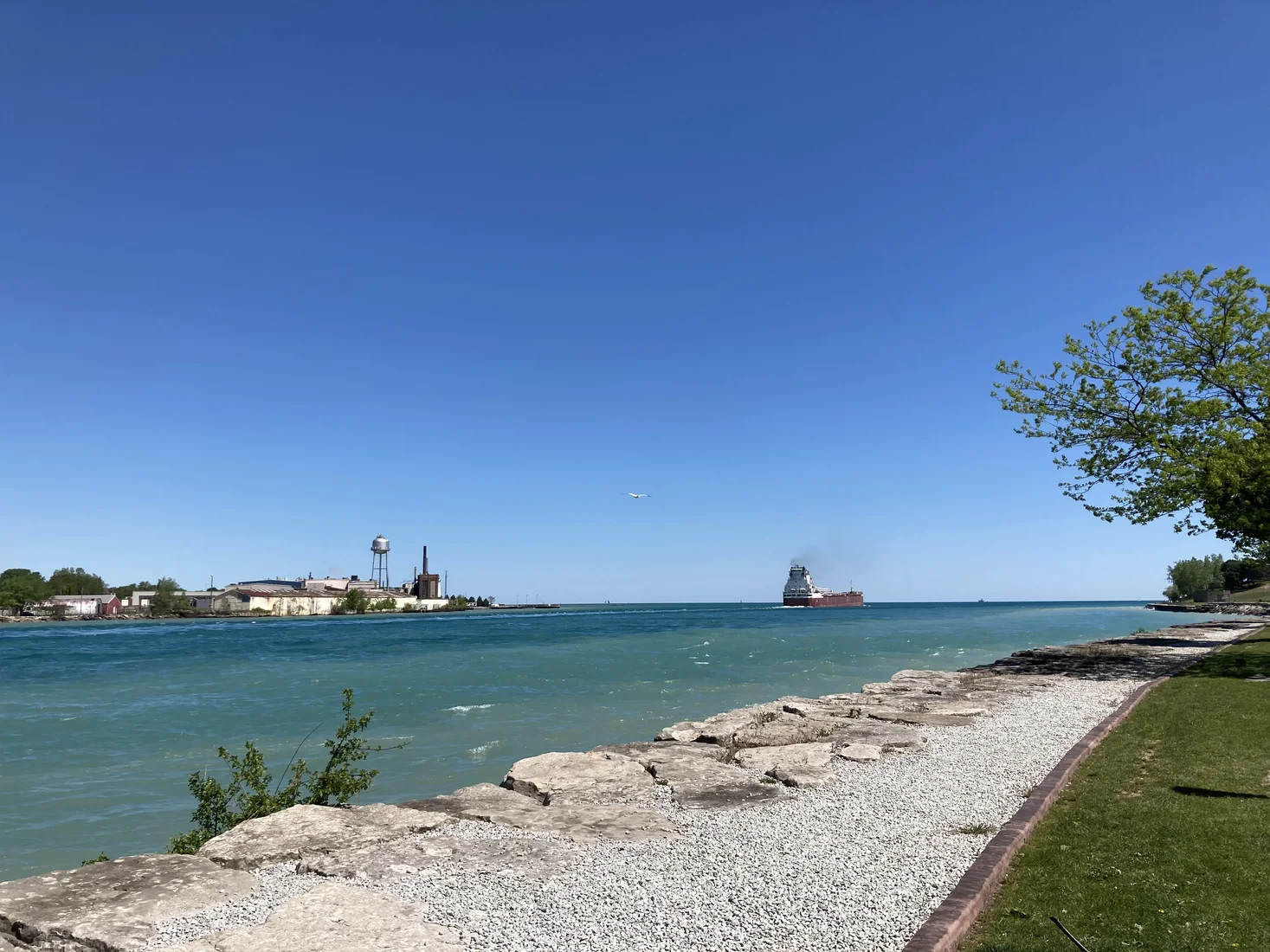
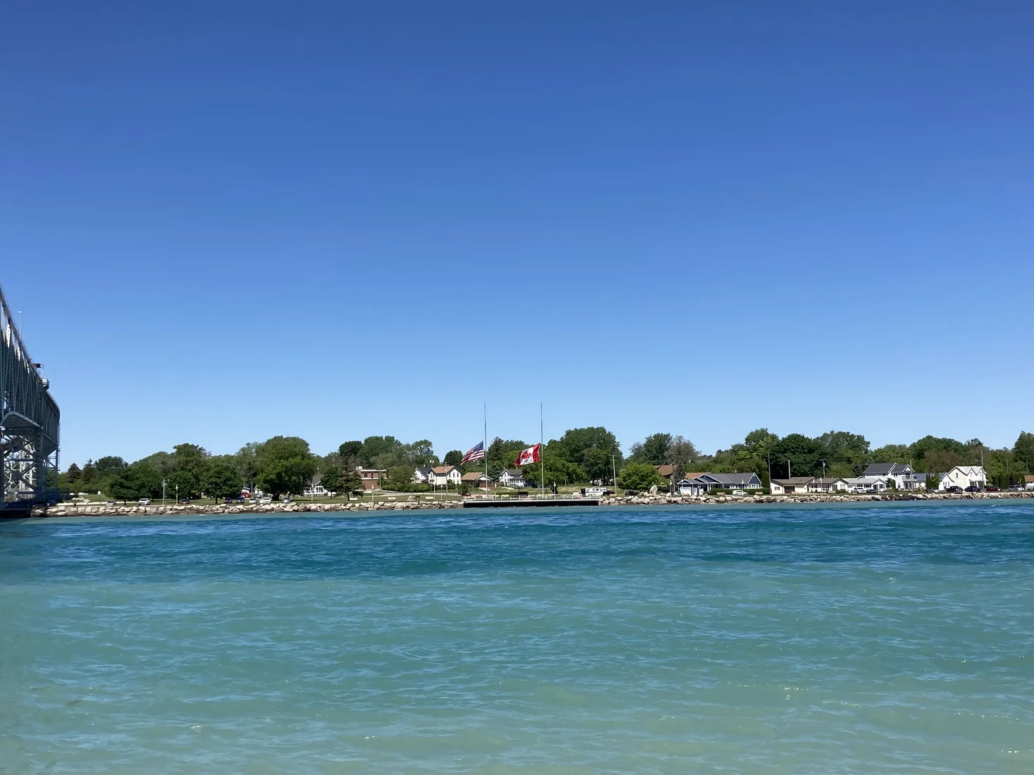
Point Edward is a small waterfront village beside Sarnia, but the geography makes it feel bigger than a normal river walk. This is where Lake Huron feeds into the St. Clair River, with Port Huron, Michigan sitting directly across the water and the Blue Water Bridge crossing overhead nearby.
Why Point Edward Works
This is not a full amusement-park day. It works best as a compact Ontario stop for people who like water, bridge views, border geography, and easy photos. Pair it with Sarnia Riverfront, a meal stop, or a longer Southwestern Ontario weekend.
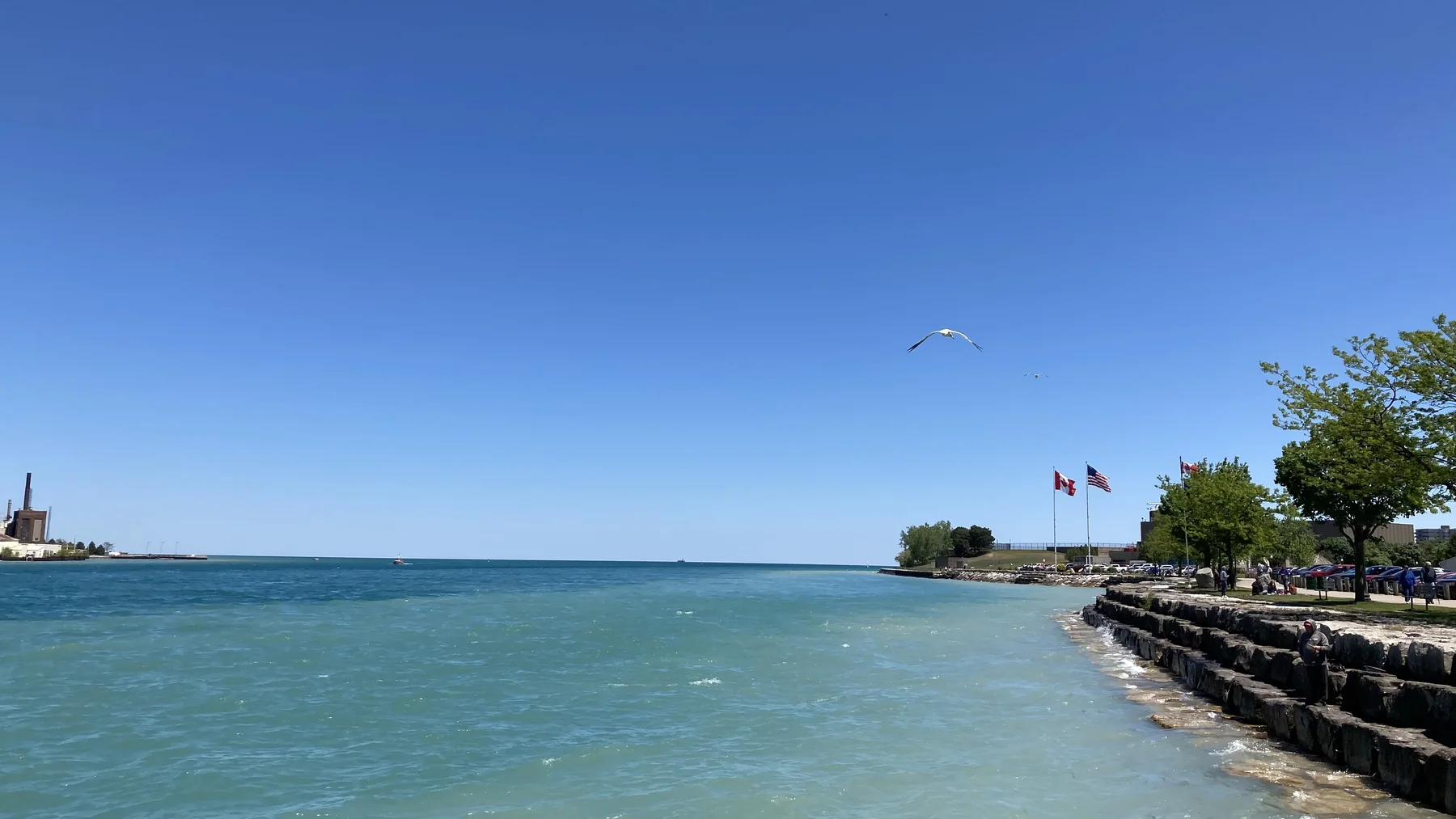
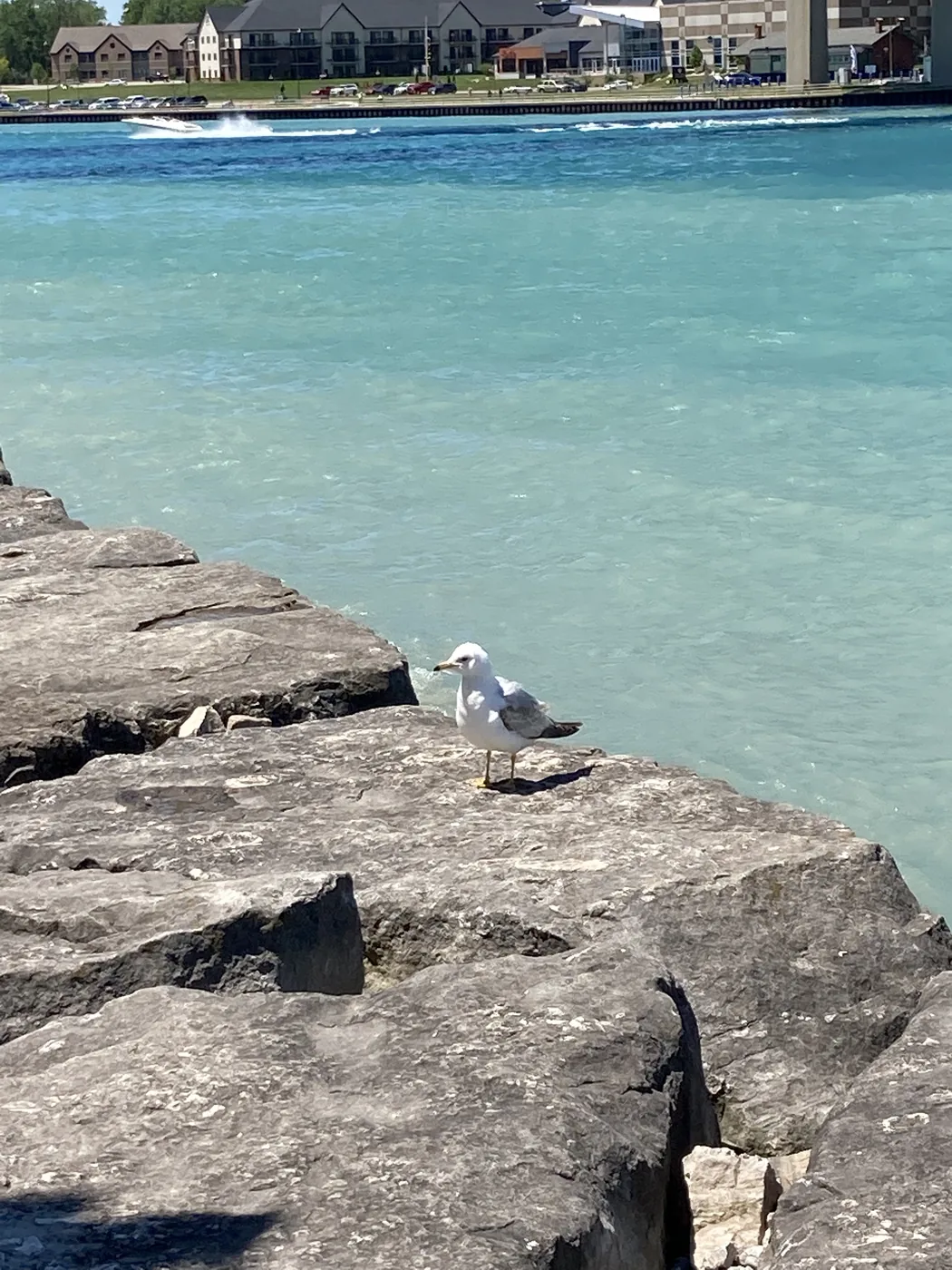
The water can look surprisingly clear and blue here, especially compared with many inland city river walks. If you are bringing visiting relatives, it is an easy place to explain where Ontario, Lake Huron, the St. Clair River, and Michigan all meet visually.
Blue Water Bridge and Port Huron Views
The Blue Water Bridge is the major international crossing between Point Edward/Sarnia and Port Huron. Even if you are not crossing, the bridge gives the waterfront a strong sense of place. You can see Michigan across the water, and from the Port Huron side there are beach and lighthouse views nearby.
If you do plan to cross, check current border wait times and bridge notices before committing. Sometimes not every lane is open, and a quick idea can become a long wait if traffic, staffing, construction, or holiday demand is working against you.
Riverfront Walk and Small Fish Pond
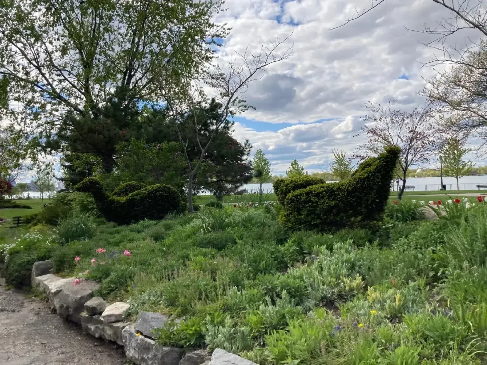
The riverfront walk is simple: water, rocks, benches, open sky, and places to pause. There is also a small fish pond area along the waterfront, which makes the stop feel more local and relaxed than just a bridge viewpoint.
Because this is a waterfront edge, watch kids carefully near railings, rocks, and docks. It is an easy stop, but it is still moving water and an active border-water area.
Getting There
From London, Highway 402 runs west toward Sarnia and Point Edward, which makes this a straightforward Southwestern Ontario drive. From Toronto, it is a longer trip, so I would treat it as part of a weekend loop or a Sarnia/Lambton County visit rather than a casual after-work outing.
If you are planning to cross into Port Huron, bring the right documents and check border conditions first. If the crossing looks slow, Point Edward still works as a Canadian-side water stop without needing to leave Ontario.
Who I Would Send Here
- People already visiting Sarnia who want a second waterfront stop close by.
- Families or guests who enjoy Great Lakes water, bridges, and border-city geography.
- Visitors who may cross into Port Huron but want a Canadian-side backup plan if waits are long.
- Photographers who want blue water, ships, bridge details, and open sky without a complicated itinerary.